A standardised damage count, within days of the event.
Structure-by-structure counts from very-high-resolution imagery, in the layout your appeal and allocation table already use.
Spec table
- Platform
- VHR satellite or aerial
- GSD
- ≤0.5 m
- Spectral
- RGB, no thermal
- Cadence
- Event driven, one delivery per event
- Delivery window
- Within days of the event, agreed at project open
- Unit counted
- Structure
- Baseline
- Pre-event imagery, where it exists
- Files
- GeoPackage or shapefile, CSV, image pairs
Files in the delivery
| Ref | Deliverable | Format | What's in it |
|---|---|---|---|
| F1 | Damage-class layer | GeoPackage or shapefile | One polygon per structure inside your affected area, each with a damage class read against the pre-event baseline. Opens in ArcGIS or QGIS. One delivery per event, with a class field you can filter and symbolise as you like. |
| F2 | Allocation-ready CSV | CSV | One row per structure: damage class, and the district or block it falls in. You send the columns your appeal table or pooled-fund request expects, and the file is laid out to match, so the analyst pastes it rather than retypes it. |
| F3 | Block-level totals | CSV | The same count rolled up by district or block, so the needs overview and the allocation table quote one set of figures. |
| F4 | Before and after reference set | Image pairs | A pre-event and a post-event image of each affected block. They go in the appeal narrative, and the field team can see what a given count rests on. |
| F5 | Not-assessable list | CSV | Structures under cloud, in shadow or with no usable pre-event image, each with the reason. None of them gets a class on a guess. This is the list that goes to field verification first. |
How it works
Event and area in
You send the event, its date and the affected-area boundary as a shapefile or GeoJSON, or a district list if you have no boundary yet. You also send the table layout the count has to fit.
Imagery
We task VHR collection over the area, or take the clearest recent pass, and look for a pre-event baseline. If there is no baseline we tell you before anything is ordered.
Classification
Every structure the imagery shows is graded against the baseline. The ones it can't read go on the not-assessable list.
Delivery
The layer, the CSV, the block totals and the image pairs arrive together. We agree the window with you when the project opens, against the date your appeal is due.
Limits
| Ref | Condition | Effect on the count |
|---|---|---|
| L1 | Resolution floor | At 0.5 m a pixel is about half a metre across. A roof, a collapse and a debris field show up. A cracked wall, a damaged facade under an intact roof and anything inside the building do not. The classes are gross ones. |
| L2 | Cloud and clear passes | Optical imagery needs a clear pass over the area. Persistent cloud holds the count back until one comes, and the delivery date is a target. |
| L3 | Baseline coverage | The pre-event baseline depends on earlier coverage of the area. Where there is none, new damage can't be told from old ruin, and we say so before tasking. |
| L4 | What it can't see | Occupancy, injuries, displacement and the cause of damage are invisible from above. The count says what happened to the structure and nothing about the people in it. |
| L5 | Not a field assessment | The count informs field work and tells teams where to look first. It does not replace the rapid needs assessment or on-the-ground verification. |
Why the count is late
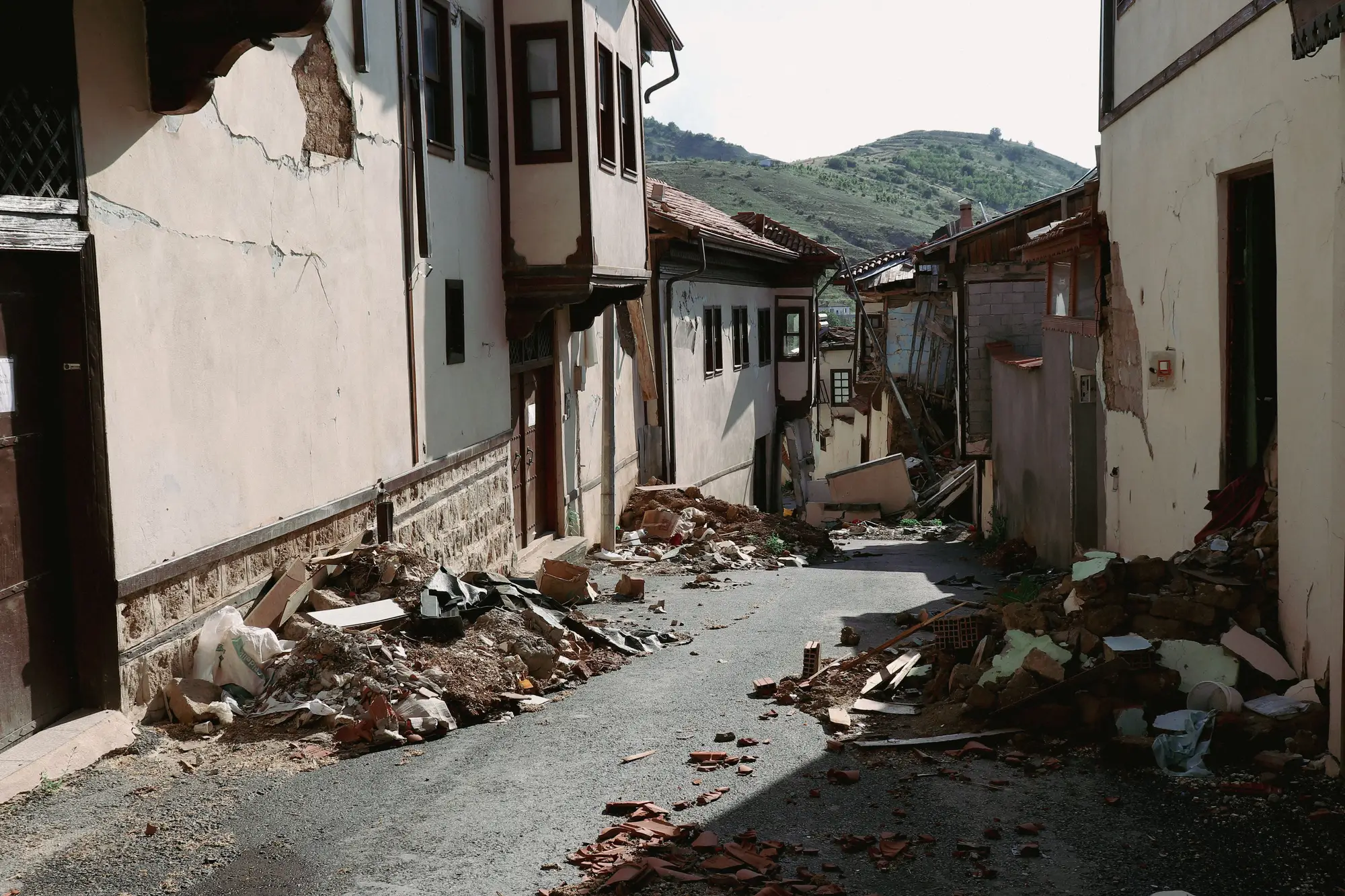
The flash appeal is open and the draft needs a damaged-structure figure. It comes from field reports, local authority tallies and partner submissions, each with its own damage classes and its own idea of where the affected area ends. The analyst reconciles them by hand into the allocation table, and the appeal waits on the slowest source.
This gives the draft one count, one set of classes and one boundary, read from the same imagery across the whole area.
Who it's for
For
- Emergency response analysts at a UN agency or donor drafting a flash appeal or allocation request after a sudden-onset event
- Information management and GIS focal points who want a layer they can check against their own footprints
- Teams filling an allocation table that needs a standardised structure count
Not for
- Teams that need occupancy, casualty or displacement figures
- Slow-onset crises with no discrete structural damage
- A substitute for rapid needs assessment or field verification
- Monitoring a site over weeks, which is a different job from one event and one count
Questions before a project
How fast is “within days”?
Tasking availability and cloud over your area decide it. We agree a target window at project open and tell you early if the imagery can't meet it.
Does this replace field verification?
No. It is the rapid, standardised count for the appeal, and it tells field teams where to look first.
What does the count classify?
Structure footprints and a gross damage class, read from above. It says nothing about who was inside or what caused the damage.
What if the area stays cloudy?
The count waits for a clear pass. Structures hidden by cloud go on the not-assessable list instead of being guessed.
Is a pre-event baseline always available?
No. It depends on earlier coverage. We confirm whether one exists before tasking, because without it new damage can't be told from old.
How do we check it against our own data?
Lay the damage-class layer over structures your field teams or partners have already verified, and decide whether the count is good enough for your table. We give no accuracy figure.
Will it fit our appeal table and our GIS?
The layer is a standard GIS file and the counts are CSV, laid out to the columns you send. We don't write into your systems.
Who owns the data and the imagery?
The project agreement sets ownership and licence terms for the deliverables and the underlying imagery before anything is ordered. Show your legal team early if the layer will go to partners.
How is a project bought and priced?
We quote per event, from the size of the affected area and the imagery needed. Tell us how your agency procures services and we will fit the project to it.
Get the count into the next appeal.
Tell us the event, the affected area and the date your appeal is due. We will say plainly whether the imagery can meet it.
Start a project